How CITYINDATA shapes the cities you love.
A Fusion of Architecture and Innovation
At CITYIN3D, we believe that every city has a story, a unique fingerprint shaped by its landmarks, streets, and culture. To capture that essence, we don't rely on conventional mapping data. Our process, CITYINDATA, goes beyond the surface to create highly detailed 3D city models using state-of-the-art technology. From satellite imagery to design, we craft our own data to ensure nothing is left to chance. Here's how we bring your city to life.
Precision that starts from above.
Generating Satellite Imagery
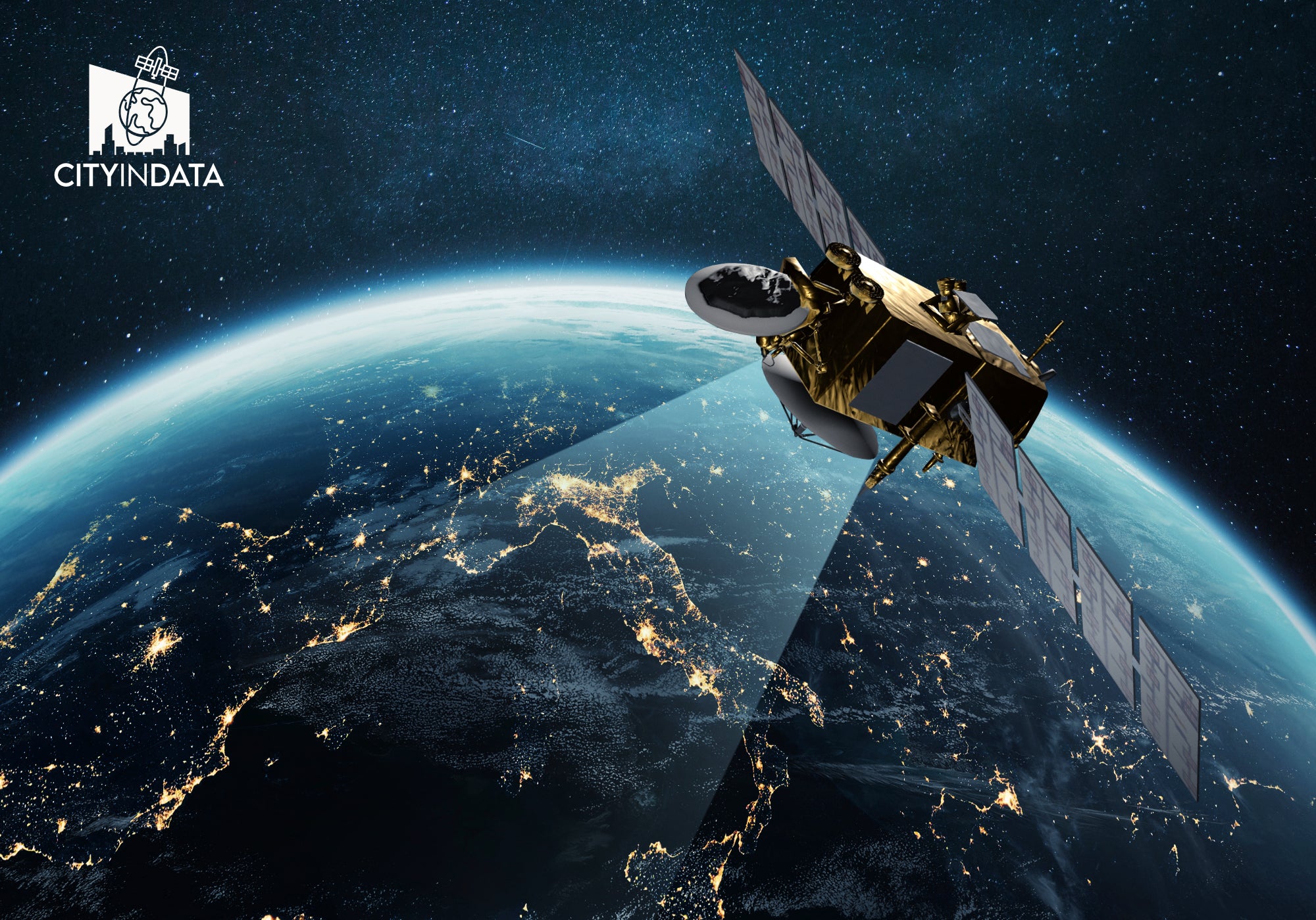
We begin by capturing high-resolution satellite imagery using cutting-edge technologies. This method allows us to obtain extremely detailed and accurate geographical data, far superior to what is typically available through other sources. Our focus on precision means that every street, building, and landmark is represented with the finest level of detail, offering a true-to-life view of the city. By leveraging this technology, we ensure that the city model is not just visually appealing but technically accurate.
Cool Fact: For each city, the satellite fly over twice, capturing imagery from different angles to ensure the highest level of accuracy in our data.
From Raw Data to Handcrafted City Models
Turning Data into Masterpieces
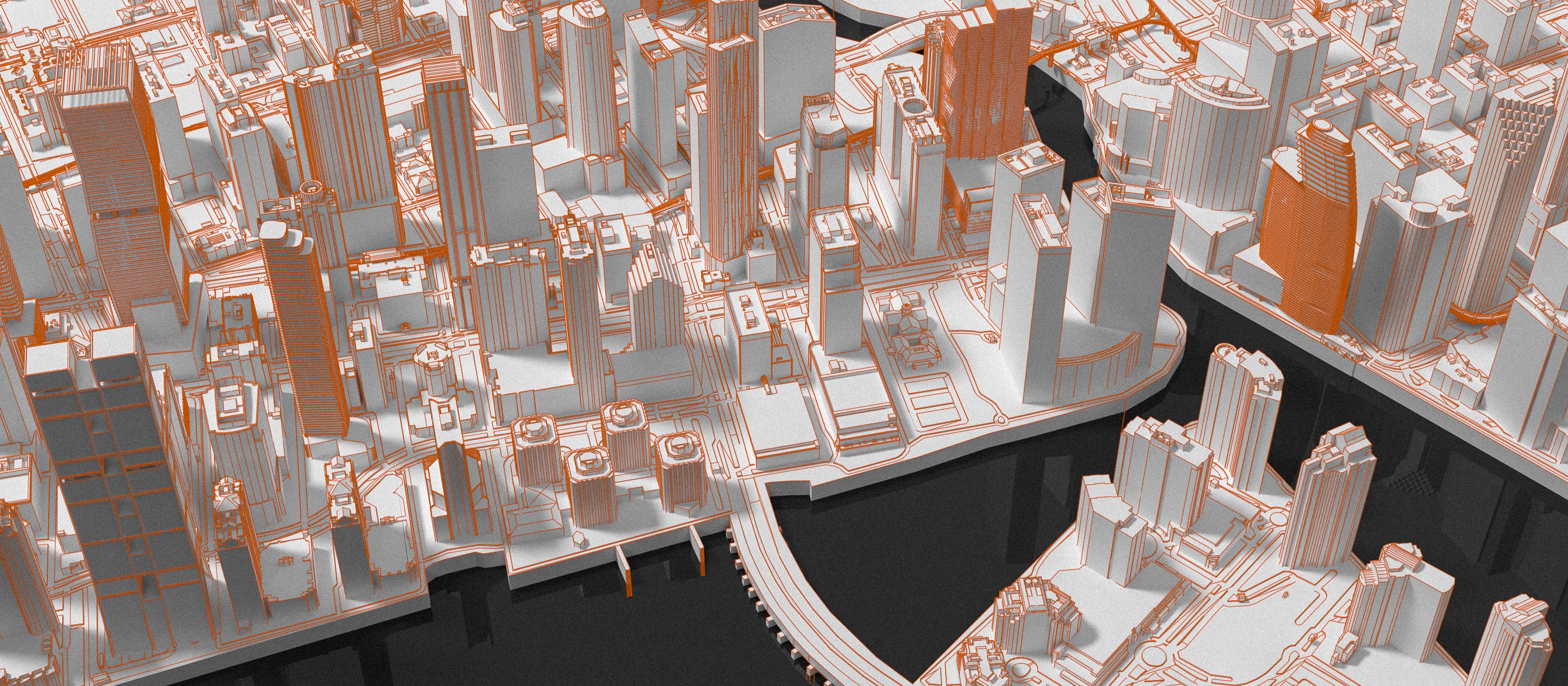
Once the satellite data is captured, our skilled team of designers and engineers take over. We meticulously hand-process the raw data using advanced design tools to transform it into beautiful, detailed 3d city models. This hands-on approach ensures that no detail is overlooked, allowing us to create a model that is both technically sophisticated and artistically stunning. Every model is crafted to capture the essence of the city, down to its smallest details.
Cool Fact: This is the most time-intensive phase of our process, often taking several months to craft a single city or district. During this time, we meticulously refine each building, design bridges, streets, parks, and capture every intricate detail to bring the city to life.
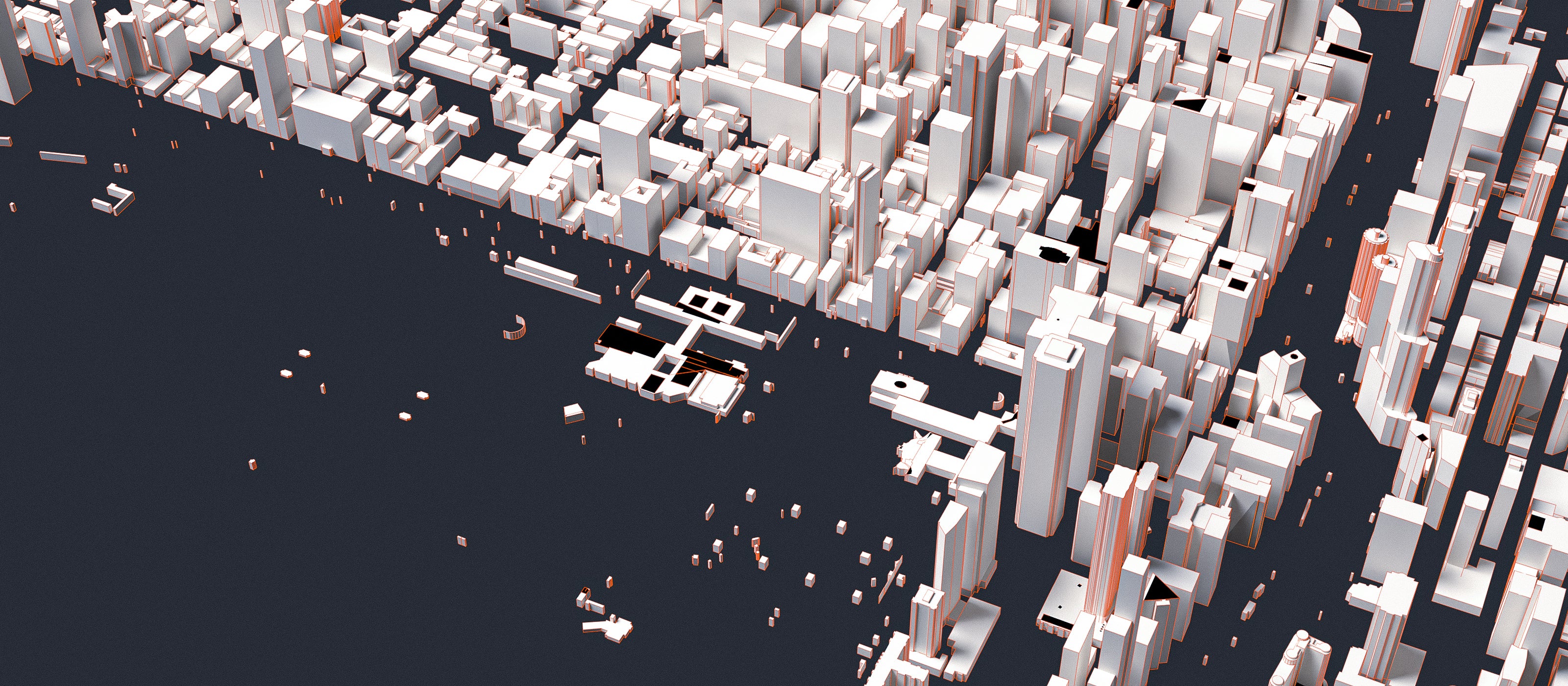
Raw Data
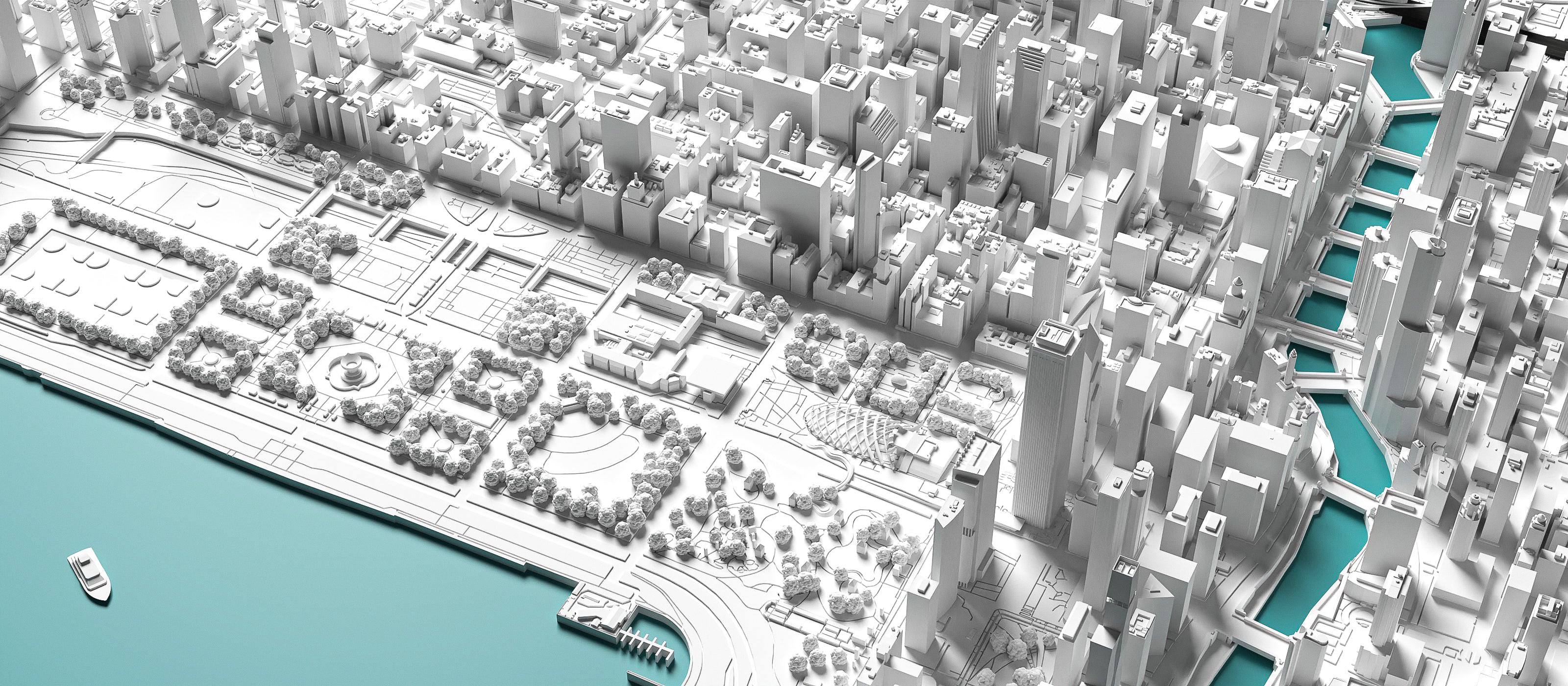
Cityindata
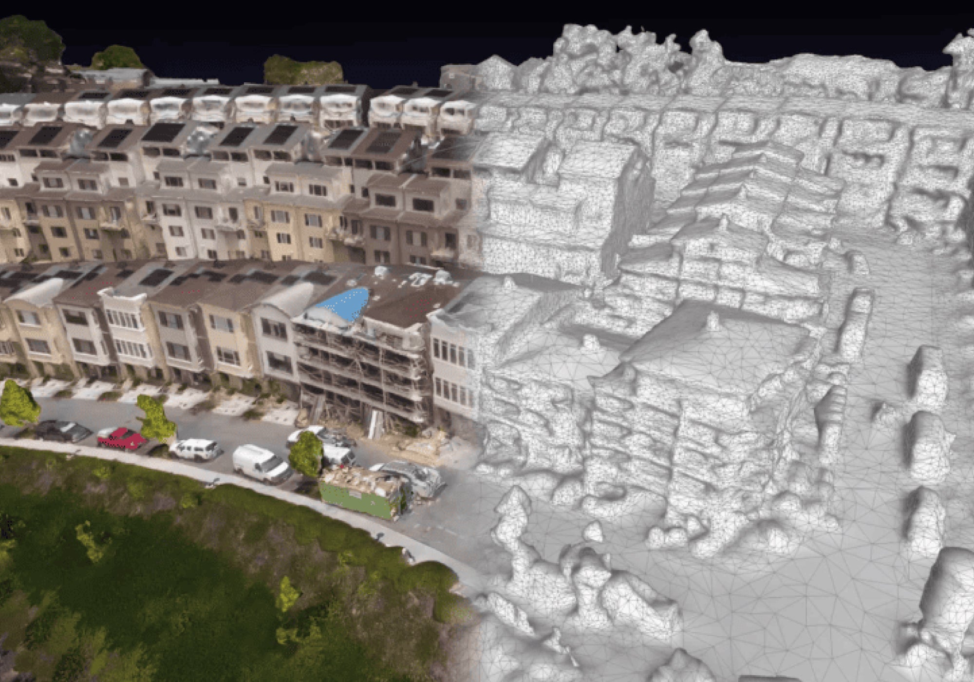
Because your city deserves the best
Why Do We Create Our Own Data?
We don’t settle for widely available data like Google Maps, photogrammetry, or open-source platforms. Why? Because these sources often provide rough, inaccurate, and incomplete information. Cities are complex, living entities, and off-the-shelf data simply doesn’t capture that complexity. Our custom data ensures that every model is as unique and precise as the city it represents. By generating our own data, we create a true representation that goes beyond the basics to capture the heart and soul of each city.

Our Commitment to Authenticity and Integrity
Originality Over Shortcuts
At CITYIN3D, we strive to create 3D City Models that are truly original and meaningful. While some brands may rely on pre-made data from platforms like Google Maps or Google Earth, we take a different path. Using such data without permission is not only unethical, it’s simply illegal.
Every model we create is designed in-house, with care and attention to ensure it meets the highest standards of quality and integrity. By choosing our work, you’re supporting a vision of craftsmanship and originality, and receiving a piece that reflects our passion for creating something special.
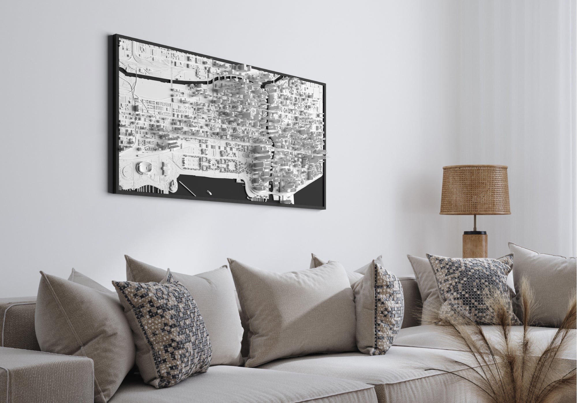
The Future of City Models, Today
What sets CITYIN3D apart?
Our 3D city models are the result of expert craftsmanship and cutting-edge technology, creating experiences that inspire and tell a story. Each model is a unique masterpiece, crafted with accuracy and artistry to captivate architects, designers, collectors, and urban enthusiasts worldwide. Choosing our models means investing in world-class quality, exclusivity, and innovation.
About CITYIN3D
Learn more about us
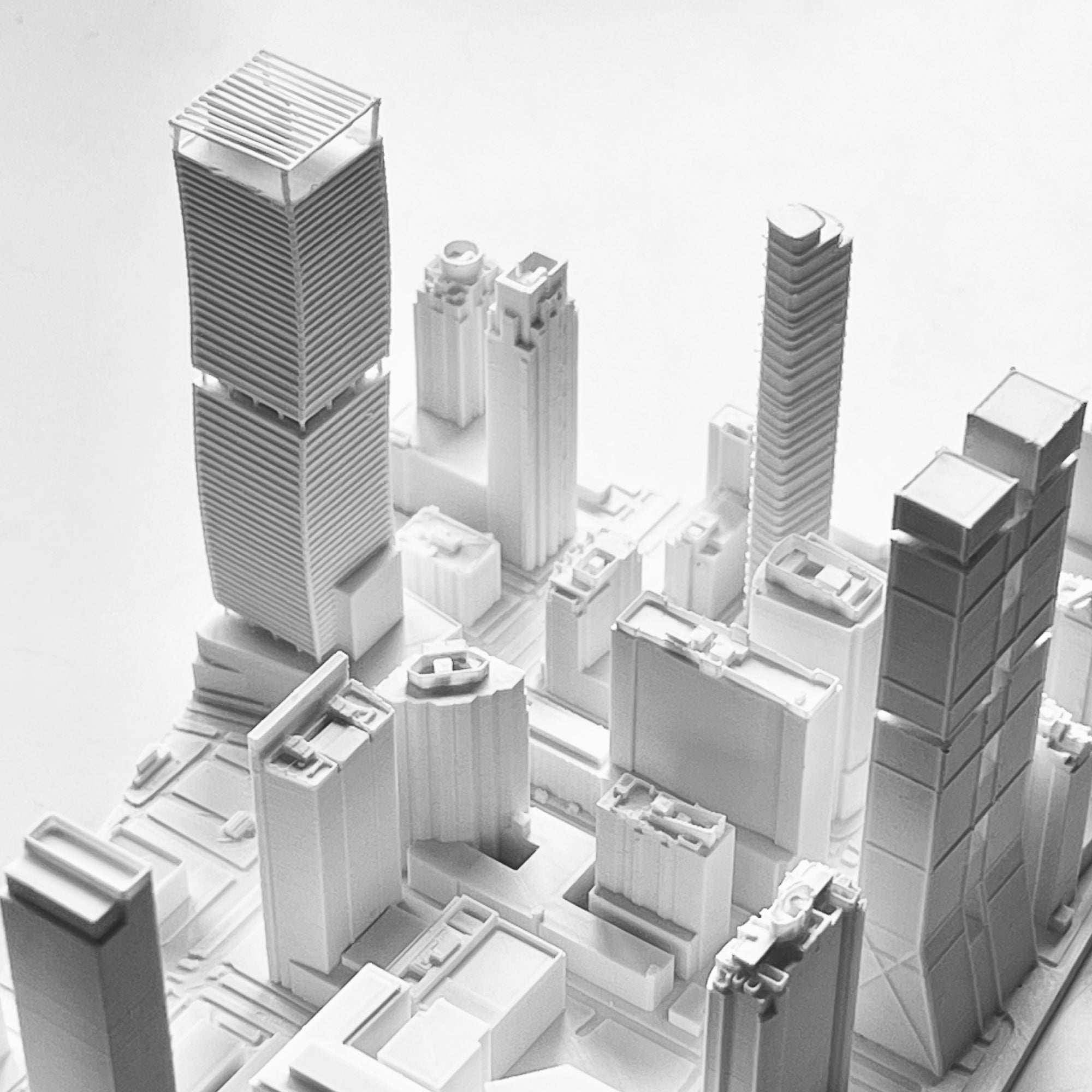
How Do We Create Our Products?
From design to production, each step is handled with care by our team of experts. Curious about how we bring it all together?
Learn more
Protecting Our Data
At CITYIN3D, we prioritize data security. We implement robust measures to protect the integrity and confidentiality of our data, ensuring that all information used in creating our city models is handled with the utmost care.
Learn More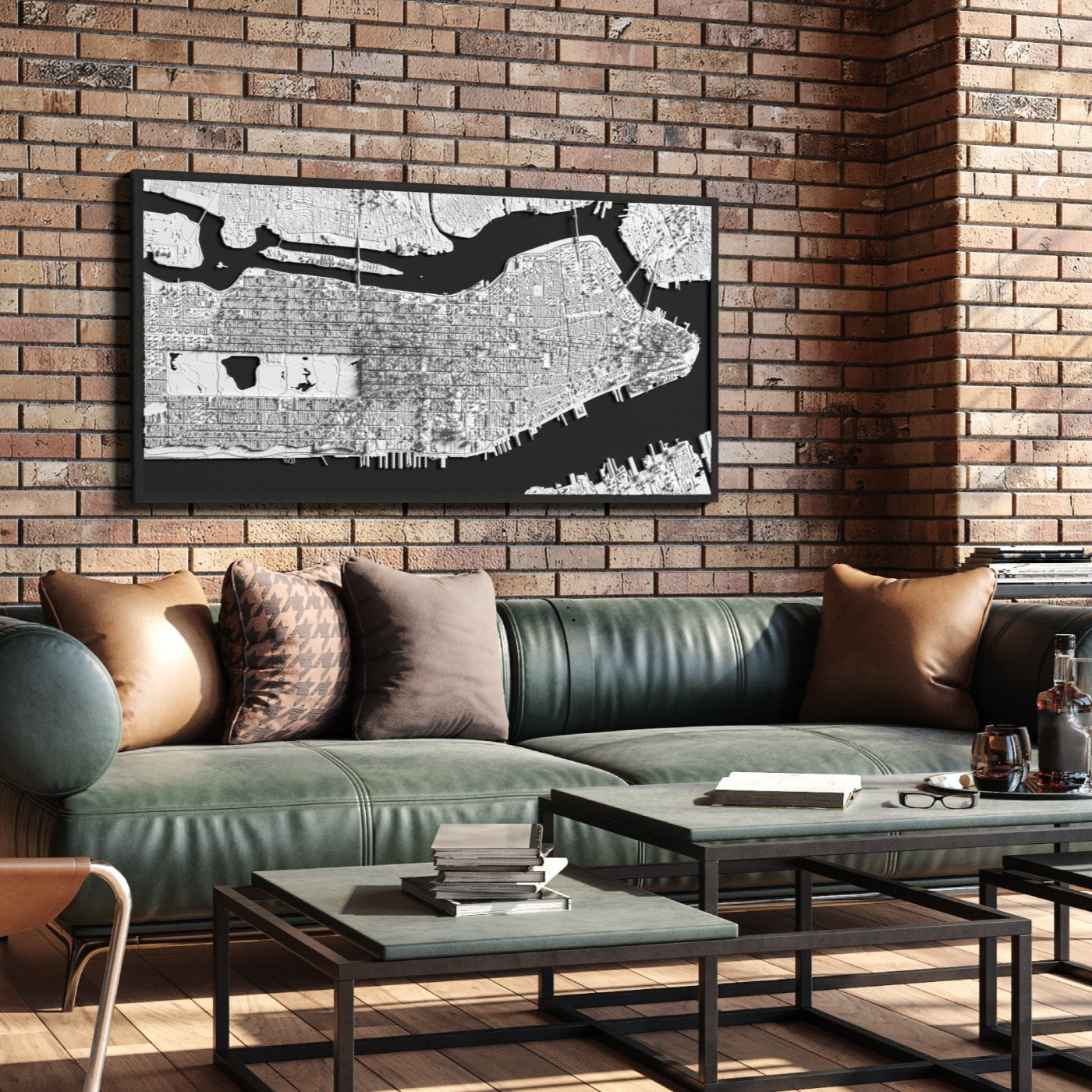
Tailor-Made Order
Got a vision in mind and eager to turn it into reality? Contact us and let's design something special together.
Make a request